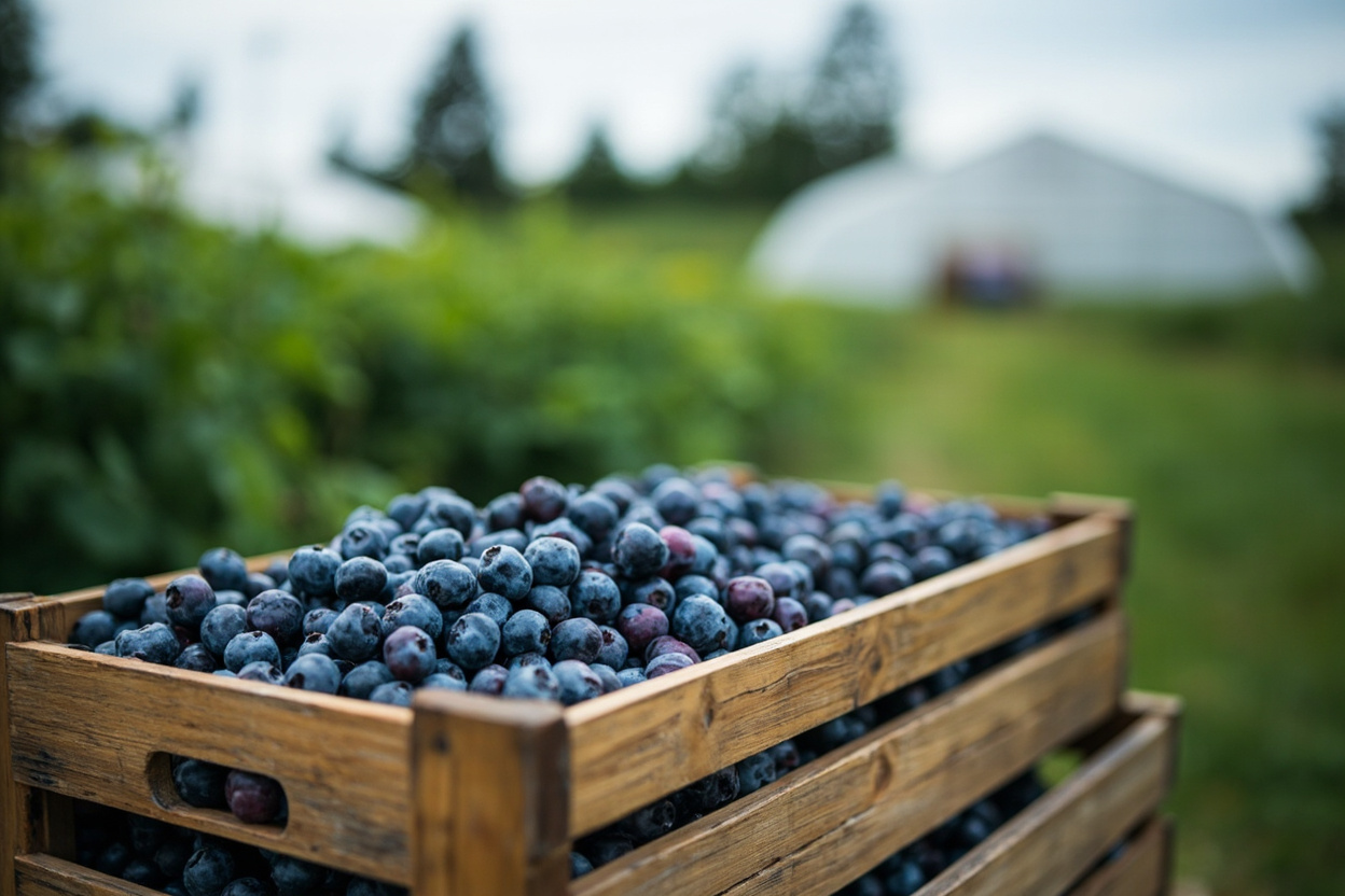
Gilmore is the farm belt of southwest Richmond, the ground between Steveston and Seafair where the suburban grid gives out. Blueberry fields, cranberry bogs and greenhouses run right up to the residential edge, and the land sits inside the Agricultural Land Reserve, which is what keeps it in production rather than under subdivisions. The West Dyke Trail forms the western boundary, carrying walkers and cyclists along the top of the dyke out toward the Strait.
Business in Gilmore follows the growing season more closely than the working week. Farm gates and roadside stands open when a crop is ready and close once it has been picked out, nurseries and garden centers do their heaviest trade in spring, and greenhouse operations, u-pick fields and produce sold direct from the farm set the rhythm of the area through summer and autumn. The colder months are quieter, given over to maintenance and to preparation for the season ahead.
The rest of the local economy is thin and practical, built around what the land needs. Agricultural ground supports equipment repair and machinery dealers, irrigation and drainage work, soil, compost and feed suppliers, tree and hedge work, trucking and cold storage, and the small food producers who process what grows nearby. Alongside those, a scatter of household services covers the homes on the residential edge: home based trades, pet care, tutoring and the small operators who work from a driveway rather than a shopfront.
Gilmore has no commercial high street of its own. Residents cross south into Steveston or north into Seafair for shops and everyday errands, and City Centre handles anything larger. That leaves the neighborhood's own frontage to the fields and the greenhouses, and it makes the West Dyke Trail the busiest thing on its western side, a recreation route along the water rather than a road through the farms.