Steveston
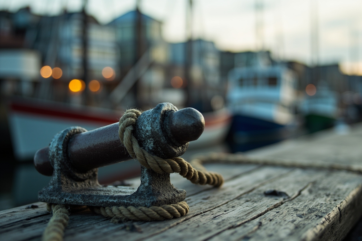
81 placesRichmond's historic fishing village at the mouth of the Fraser's south arm, where a working commercial fleet still sells off the dock at Fisherman's Wharf. Moncton Street...
Browse Steveston

Area by area
What each part of the city is actually like, and which businesses are in it.
Richmond is not one place. A morning on the dyke and an afternoon on a mall concourse are different cities to shop in, and the businesses follow. Each area below has its own page with the shops, restaurants and services listed there.
Richmond's historic fishing village at the mouth of the Fraser's south arm, where a working commercial fleet still sells off the dock at Fisherman's Wharf. Moncton Street...
Browse Steveston
Richmond's downtown core, built around the Canada Line and the No. 3 Road spine. Towers, offices and shopping centers sit beside City Hall, the public library and Minoru...
Browse City Centre
The stretch of No. 3 Road roughly between Cambie Road and Alderbridge Way, plus the streets either side of it. Aberdeen Centre, Yaohan Centre, Parker Place and President...
Browse Golden Village
Richmond's northern gateway, where Canada Line, Knight Street Bridge and Oak Street Bridge traffic all converge. River Rock, the nearby hotels and the Bridgeport park-and...
Browse Bridgeport
Southeast Richmond at Steveston Highway and No. 5 Road, built around Ironwood Plaza and the big-box retail beside it. Newer townhouse and apartment development has filled...
Browse Ironwood
The southern half of City Centre, named for the Canada Line's Richmond-Brighouse terminus. Richmond Centre, City Hall and the Minoru sports and aquatic precinct all sit h...
Browse Brighouse
Central Richmond either side of Blundell Road, between Granville Avenue and Francis Road. Blundell Centre at No. 2 Road is the everyday anchor, grocery, pharmacy, bakery,...
Browse Blundell
Richmond's northeast quadrant, east of No. 5 Road along Cambie Road. Cambie Community Centre and the park beside it anchor a residential core bounded on nearly every side...
Browse East Cambie
South-central Richmond between Blundell and Williams Roads, No. 2 Road across to No. 4. Broadmoor is largely postwar single-family housing on wide lots, ringed by schools...
Browse Broadmoor
North Richmond between No. 3 and No. 4 Roads, running from Alderbridge Way up to Cambie Road. Fast-changing ground: townhouse and mid-rise development sits beside long-st...
Browse West Cambie
West Richmond between Granville Avenue and Francis Road, running out to the dyke and the Sturgeon Bank foreshore. Established postwar streets, mature trees and a strong w...
Browse Seafair
The broad agricultural east of the island, beyond No. 6 Road and out toward the Highway 91 corridor. Most of it is Agricultural Land Reserve, cranberry bogs, blueberry fi...
Browse East Richmond
East-central Richmond between No. 4 Road and Shell Road, south of Granville Avenue. A mix of residential streets, school sites and light-industrial frontage along Shell R...
Browse Shellmont
Richmond's northwest corner, where the West Dyke Trail turns inland along the Middle Arm. Mostly newer single-family streets and townhouse complexes, with Terra Nova Rura...
Browse Terra Nova
Richmond's easternmost neighborhood, cut off from the rest of the city by farmland and sitting against the Fraser opposite Queensborough. A tight, self-contained communit...
Browse Hamilton
The separate island north of the Middle Arm, given over almost entirely to Vancouver International Airport. Burkeville, the small 1940s townsite beside the runways, is it...
Browse Sea Island
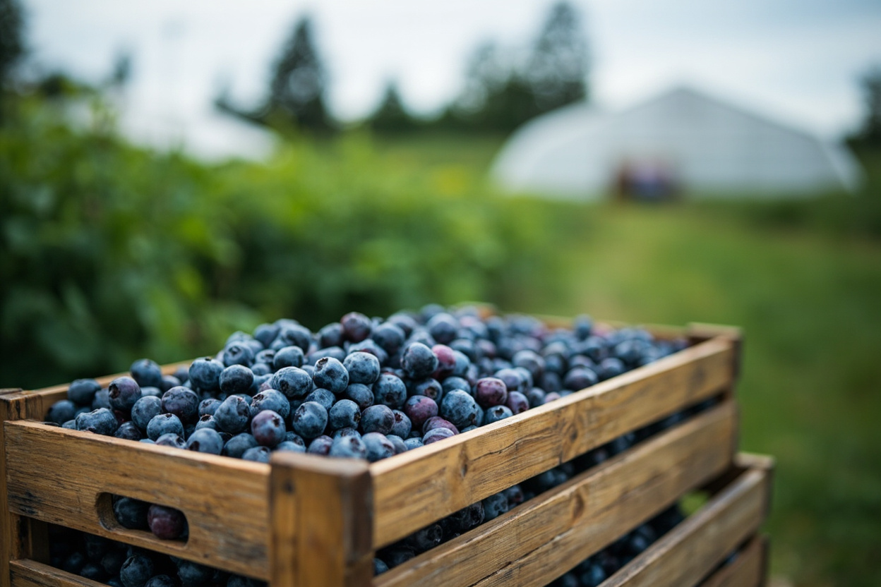
Southwest Richmond's farm belt, sitting between Steveston and Seafair. Blueberry fields, cranberry bogs and greenhouses run right up to the residential edge, and the West...
Browse Gilmore
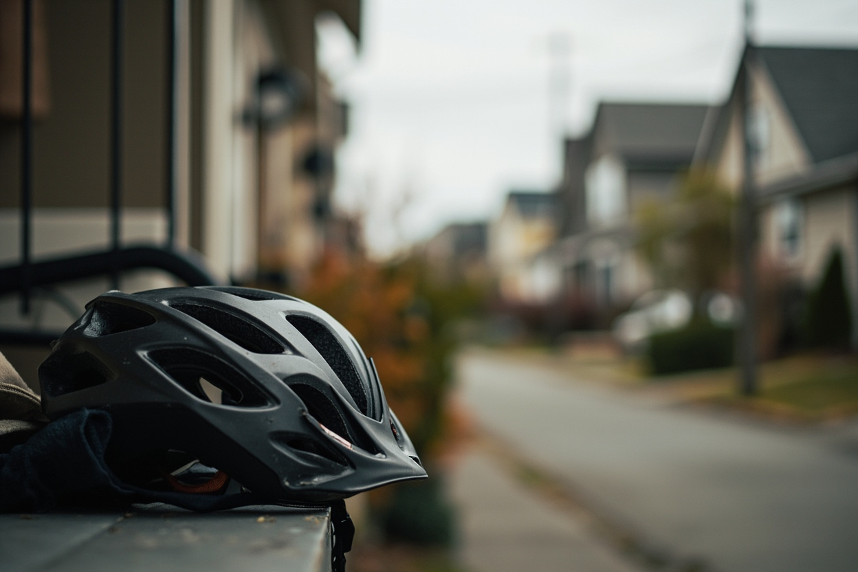
A compact west Richmond pocket between Westminster Highway and Granville Avenue, west of No. 2 Road. Almost entirely residential: cul-de-sacs, a settled school catchment...
Browse Riverdale